FEATURES & OVERVIEWS

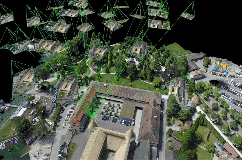
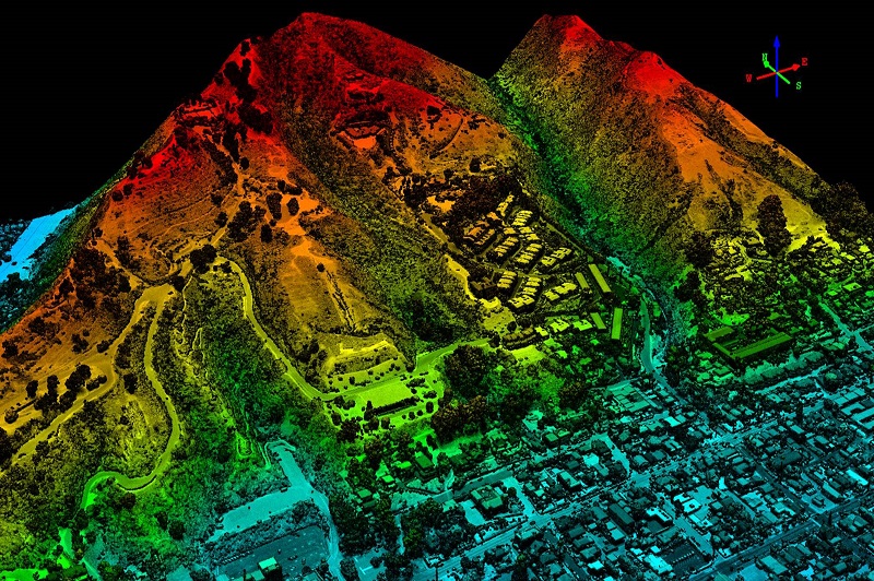
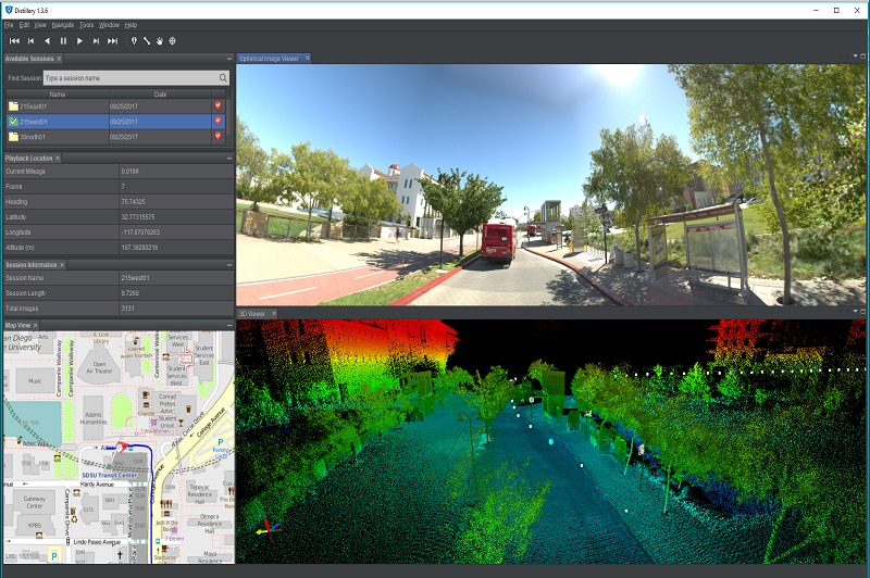
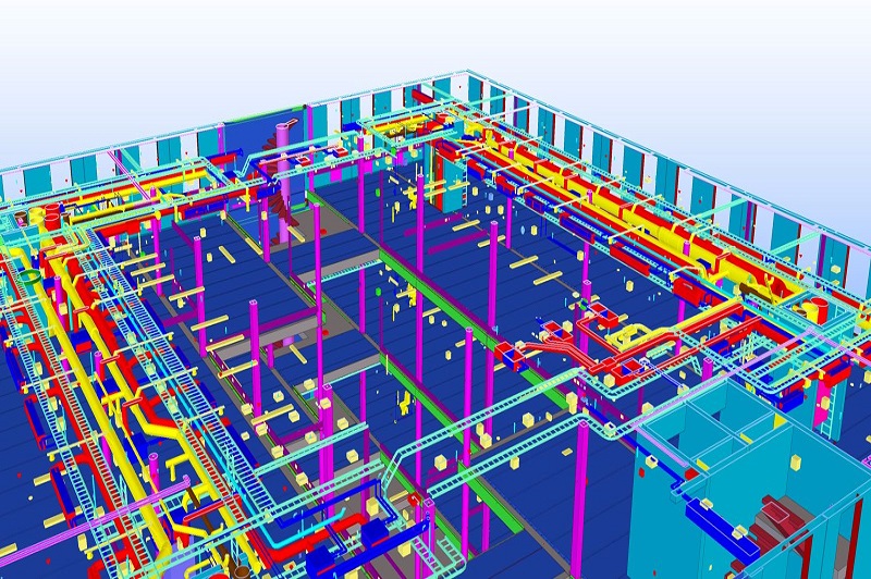
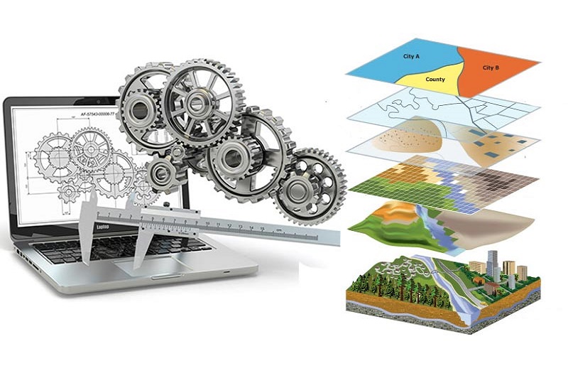
We are expertise in Geo-Spatial Services Digital Photogrammetry, LiDAR, Mobile/UAV Processing, BIM Modeling, and CAD & GIS Services.

Digital Photogrammetry


Photogrammetry is defined as the process of deriving metric information about an object through measurements made on the photograph of the object. Photogrammetry is the science of obtaining reliable information through the process of recording, measuring and interpreting photographic images.

KEY FEATURES: ISO 9001:2015-certified, world-class photogrammetry center with core expertise in digital photogrammetry platforms.


LiDAR


LiDAR (Light Detection and Ranging) is a remote sensingmethod that uses light in the form of a pulsed laser to measure ranges(variable distances) to the Earth. These light pulses combined with other data recorded by the airborne system generate precise,three-dimensional information about the shape of the Earth and its surface characteristics.


Mobile/UAV Processing


Mobile mapping solutions combine the usability and familiarity of videos and photographic images with the accuracy and precision of LiDAR point clouds to deliver a total asset management solution.


BIM Modeling


Building Information Modeling (BIM) is an intelligent 3D model-based process that provides architecture, engineering, and construction professionals the insight and tools to more efficiently plan, design, construct and manage buildings and infrastructure.


CAD & GIS


Converting all raster-based drawings to vector formats with customized layers, color codes, dimensions, and text styles. CAD & GIS employees work together as a team to provide valuable mapping, database information and plans for each project. Our GIS data services group can relate information from different sources, build custom applications to enhance performance and deliver a full spectrum of GIS solutions.